Incident-centered coordination
Every route, task, sighting and team action is attached to a single incident record with a full timeline.
- Incident codes and status
- Assignment history
- Public vs operational views
Early Access/SARhive is under active development. Interactive previews use sample data.
The SARhive platform
SARhive turns scattered volunteers, messages and map screenshots into one incident record, one map and one shared operational picture, designed for uncertain conditions and unreliable connectivity.
Capabilities
Each capability carries an honest availability status so you always know what is usable today.
Every route, task, sighting and team action is attached to a single incident record with a full timeline.
Sectors, planned routes, completed coverage and coverage gaps rendered on one operational map.
Draw a search area, split it into sectors and publish routes and waypoints to the field.
Readiness, skills, role codes and check-ins so coordinators know who can be tasked right now.
Structured net traffic, official updates and task-linked messages instead of scattered chat threads.
Public reporting and volunteer instructions are being designed for multi-language operations from day one.
Large touch targets, high contrast and offline-tolerant flows for volunteers working in the field.
Sightings and tips move through triage states so command acts on confirmed information only.
Mission flow
The same sequence drives the public site, the operations console and the field app.
The public, a family member or a volunteer submits a sighting or a new incident.
Coordinators confirm, merge or reject reports before they reach the field.
The search area is drawn, split into sectors and prioritised by probability.
Sectors, routes and waypoints are assigned to teams by movement mode and skill.
Field tracks return from phones and devices and update actual coverage.
Command reprioritises gaps, releases official updates and closes resolved sectors.
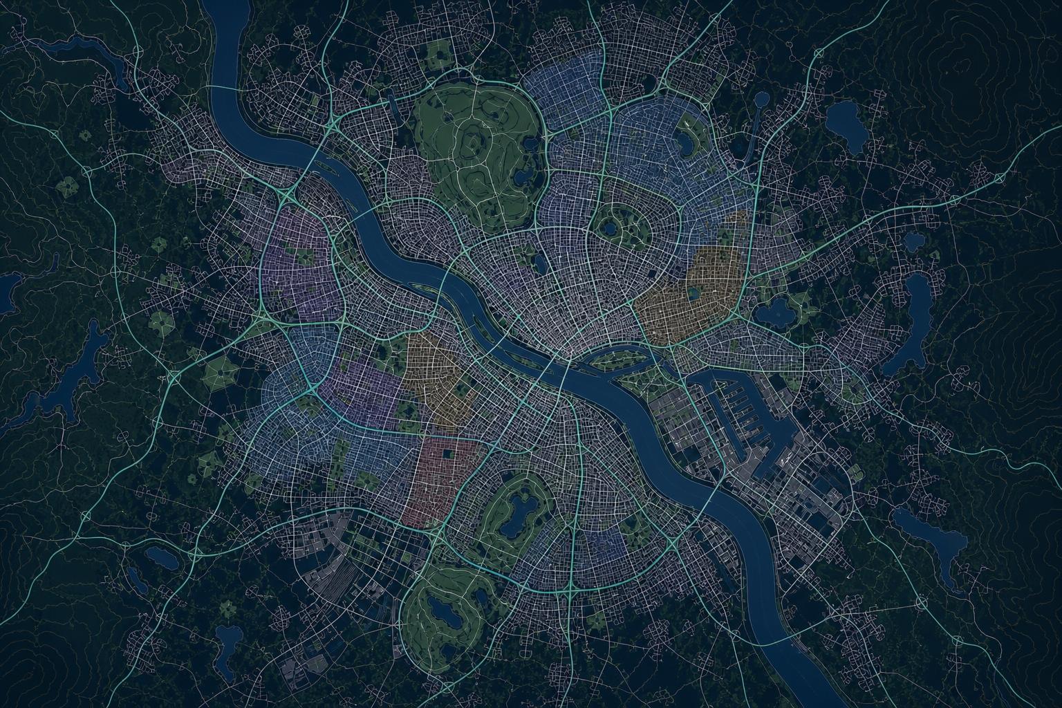
Sectors, team positions, planned and completed routes, sightings and coverage gaps on one shared picture.
Join the hive
SARhive is in Early Access. Join the list and we will contact you when your region opens.
Interactive product preview with synthetic sample data. Not an active emergency-response service.